DRONE SERVICES
APM Engineering
Precision From the Ground Up
Topographic Mapping and Aerial Inspection Experts
APM ENGINEERING
“We specialize in professional LiDAR scanning and photogrammetry mapping services for a variety of industries, including construction, land development, and transportation. Our state-of-the-art equipment allows us to provide highly accurate and detailed maps and models for use in projects of all sizes.”
Ag.Tech
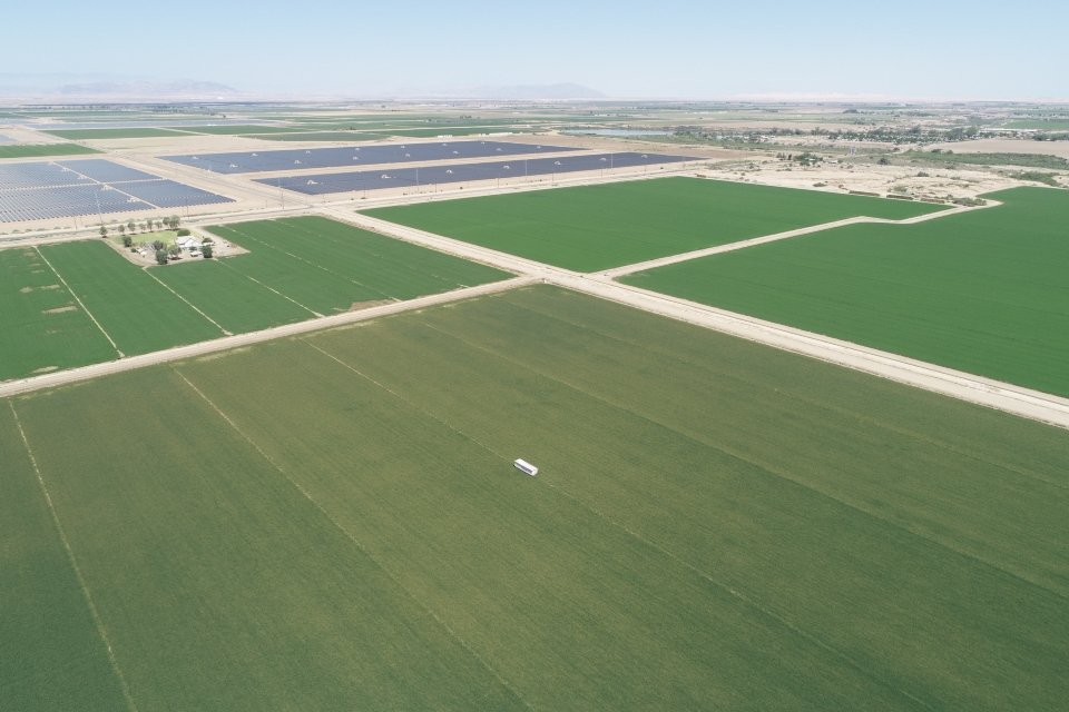
Our Techs-Alot team are currently designing the Ag.Tech website at this very moment and are excited to publish it as soon as we are finished with it. Ag.Tech is a company based around the ingenious use of drones in agriculture so naturally, their website will be filled with the amazing pictures that those drones provided for us. Look forward to their amazing website coming soon!


